Climb Every Mountain
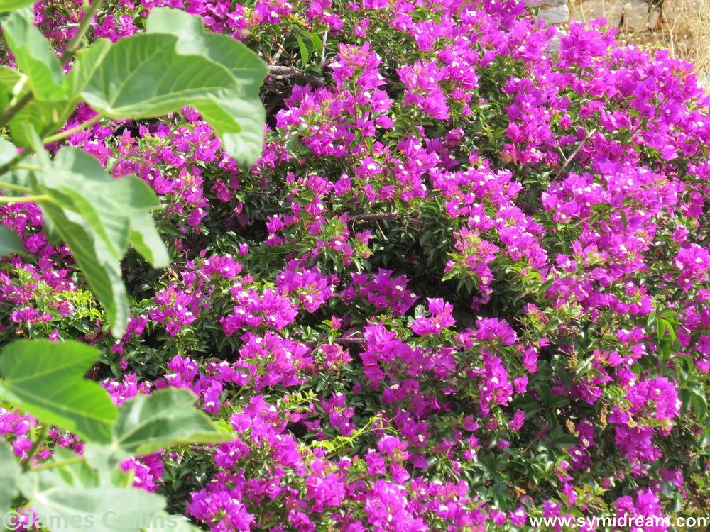
Continuing the spring theme, I found some photos from last April, and some from the other day, so I thought I’d show you what Symi looks like in the spring. Or at least, the parts of Symi that I get to see.
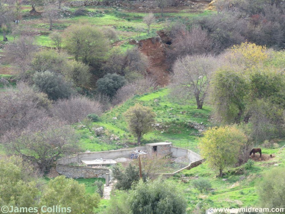
If all this greenery is going on around the village and Pedi, imagine what it’s like out on the hills and far away, over towards Marathounda and then to the west beyond Xissos. Wild herbs, trees, birds, wildlife, it’s all out there, you just need to go and find it. Which is what makes Symi so good for walkers, especially at this time of year. You can ramble safely, following the old red or blue dots from the Kalodoukas walking book, or you can buy one of the newer maps of the island which now have contour lines and details. (See below.) You can just follow the road if you want, and take one of the minor roads off it.
Head up through the village, for example, following the main road, so you don’t get lost, and you’ll eventually summit behind the Vigla. You can summit the Vigla itself if you want and my Skai map of Symi tells me it’s 617 metres above sea level. That’s just over half the height of Snowdon if you’re interested (1,085 m). Not as high as Greece’s highest mountain, Mount Olympus which summits at 9,218 meters, I am told, but still, the Vigla is our tallest hill, and we’re rather proud of it.
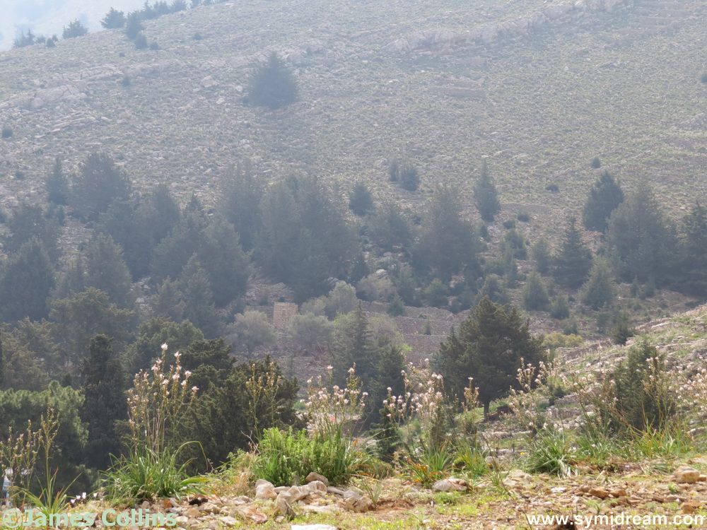
Carry on the main road and you will see a turn to the left (after the monastery of Ag Konstantinos but before the recycle tip) and that will take you towards St George and the hinterland. Or, keep going and you’ll pass through the pine forest and eventually reach Panormitis. I’ll leave you with a few tips: The walk from Village to the top of the zigzags to Panormitis took me two hours. The shortcuts didn’t make it any shorter or easier. It’s another two hours down the zigzag to Panormitis itself. Make sure you have a lift back organised. Always take water, a hat and a mobile, in case…

Here’s a link to the map I use. I think it’s one of the best around at the moment.