Still Walking through the Χαμές area of Symi (part 3), still wandering the Symi hills last Sunday:
Following the road-come-track we pass a church dedicated to Agia Marina to our right and come out of the woods to an area with no specific name; it’s between Pervola on the west and Koupi on the east, and, from the centre of this area you can look south (towards Rhodes, roughly) and down into the Nanou valley. If you are looking at a map you can find us near the church of Ioannis Tsagrias where a threshing circle is marked, that is if you are on the same Symi Terrain Maps as me.
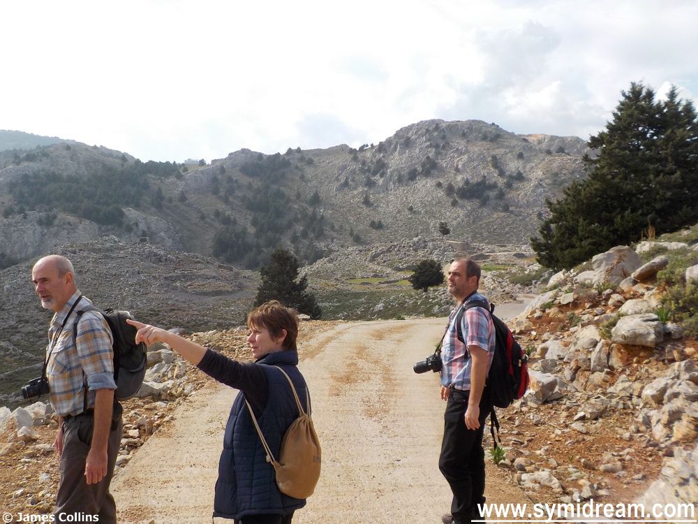
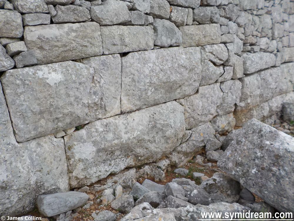
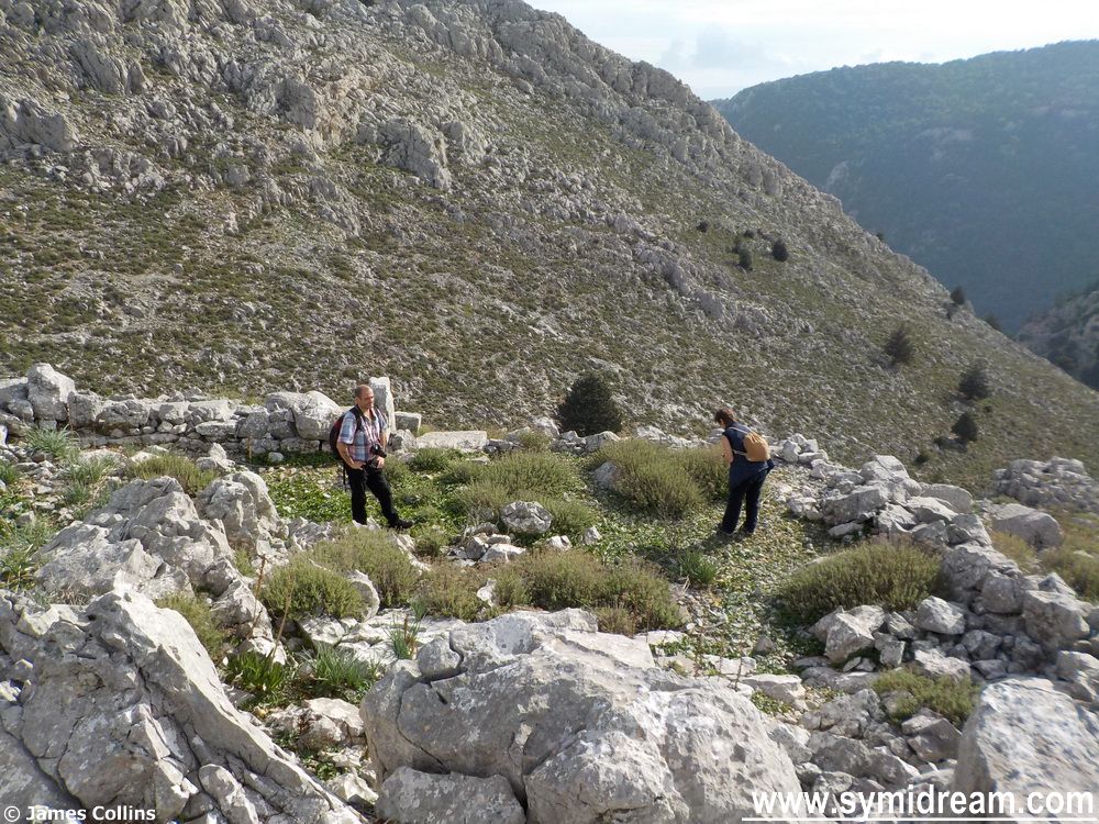
Anyhow, there is an ancient ruin hereabouts, which is a few metres from the path, or thereabouts, and this is where we find us four walkers, or layabouts. Actually, we’re not laying about we’re clambering about and examining the stones, many of which are dressed. Some of them are in the same design/formation as those at the bottom wall of the Castro, which we know from books to come from Byzantine times (330 to 1453 a.d.); closely cut together to fit neatly leaving no gaps and not requiring mortar.
The stones are forming a wall on three sides of a natural hill, the fourth wall, facing south, is mainly made up of natural bedrock, sharp and rising to an apex. If there was a fourth wall there it’s long since gone. In nearby shepherd huts and once-were buildings you can clearly see some of these dressed and very large stones, so the site, whatever it was, has been robbed out.
Within the walls there is a large stone circle which could have been a roundhouse, it could have been an animal enclosure or it could have been something else. I wondered what this place may have been. If agricultural, why go to the trouble of dressing so many large stones and building what would have looked like a fortification? I didn’t think it was a temple as it didn’t face east-west as you would expect, and it was more square in shape, rather than rectangular. So, I wondered if it had once been some kind of fortification or defence, or even an outpost or beacon.
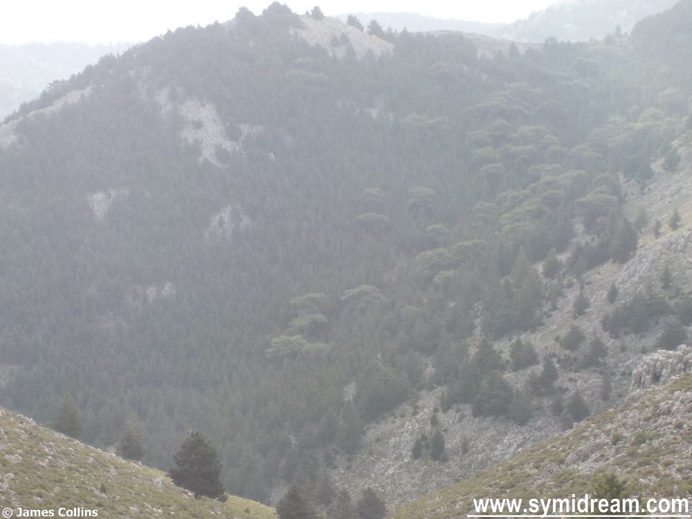
From the top of the centre, the rocky outcrop, you get a panoramic view from Nanou and beyond (you can just make out Rhodes), all the way around 360 degrees to the various hillsides. If anyone was going to come up the Nanou valley you would see them, if anyone was coming from Panormitis across country (before roads) you would see them, and you could easily light a beacon to warn anyone at the top of the mountain, who would then light another one to warn the town. Just a thought.
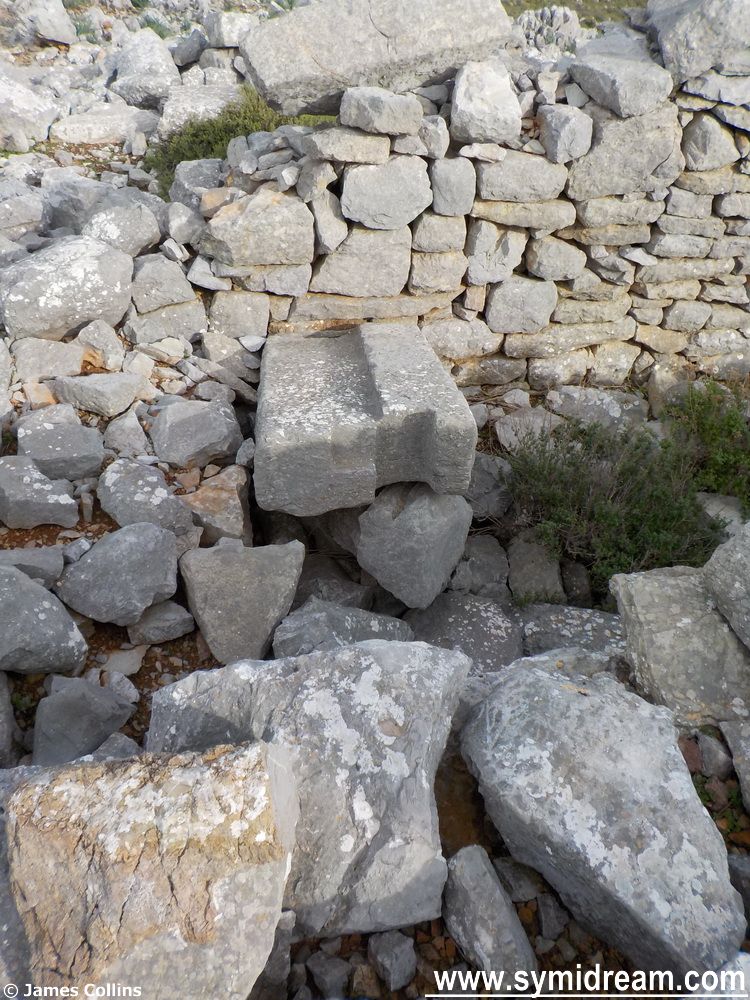
We had a great time carefully exploring the site, there are pottery shards there but they could be ‘recent’ and there are stones which were clearly, at one time, door steps with holes cut for posts and the like. But what this place actually was remains a mystery for me; perhaps someone will let me know at some point?
And so onwards towards home. This involves following the road and keeping the Vigla (the main mountain) to your right as you head towards the main road, which is where we shall pic things up tomorrow.