Today we start a walk, our second long walk of the winter walking season, and this takes us (well, me) through some places I have not been before.
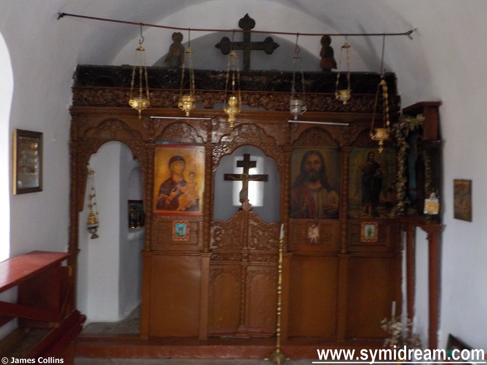
It starts off in Horio and the church of Stavros from where we collect our walking companions and head off towards the old track from the village towards the hinterland. There’s a new-new sign just past the gate now directing you to Panormitis one way and Ksisos the other. We followed the path towards Ksisos and then turned off it having visited Agia Pareskevi where I had a quick word about eyesight (she’s the saint of eyes).
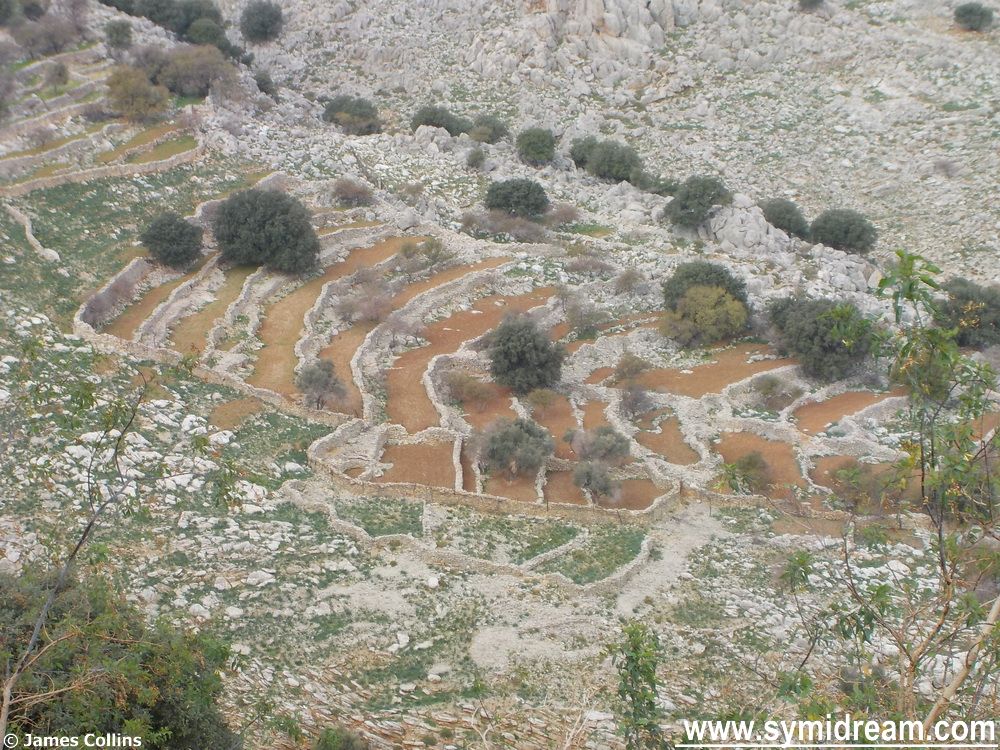
According to my map, this sub-path (which is not marked on it) leads us past ‘Teixos’ which means ‘Wall’ and that is listed as an ancient monument, but I think the map reefers to me. Having said that, there are many walls out there, so much terracing and it’s so hard to put a date on them. I can vaguely recognise Byzantine masonry, and more modern building works, but dry stone walls that could have been put up last year or 1,000 years ago are hard to date. We did see some terracing though, weeded out and ready for planting fodder for livestock, apparently.
And so, on across the side of the valley behind Yialos, below the main road, and through a line of trees, and over some very rough ground. Grateful for my new walking boots which stood up well to the day and didn’t provide blisters.
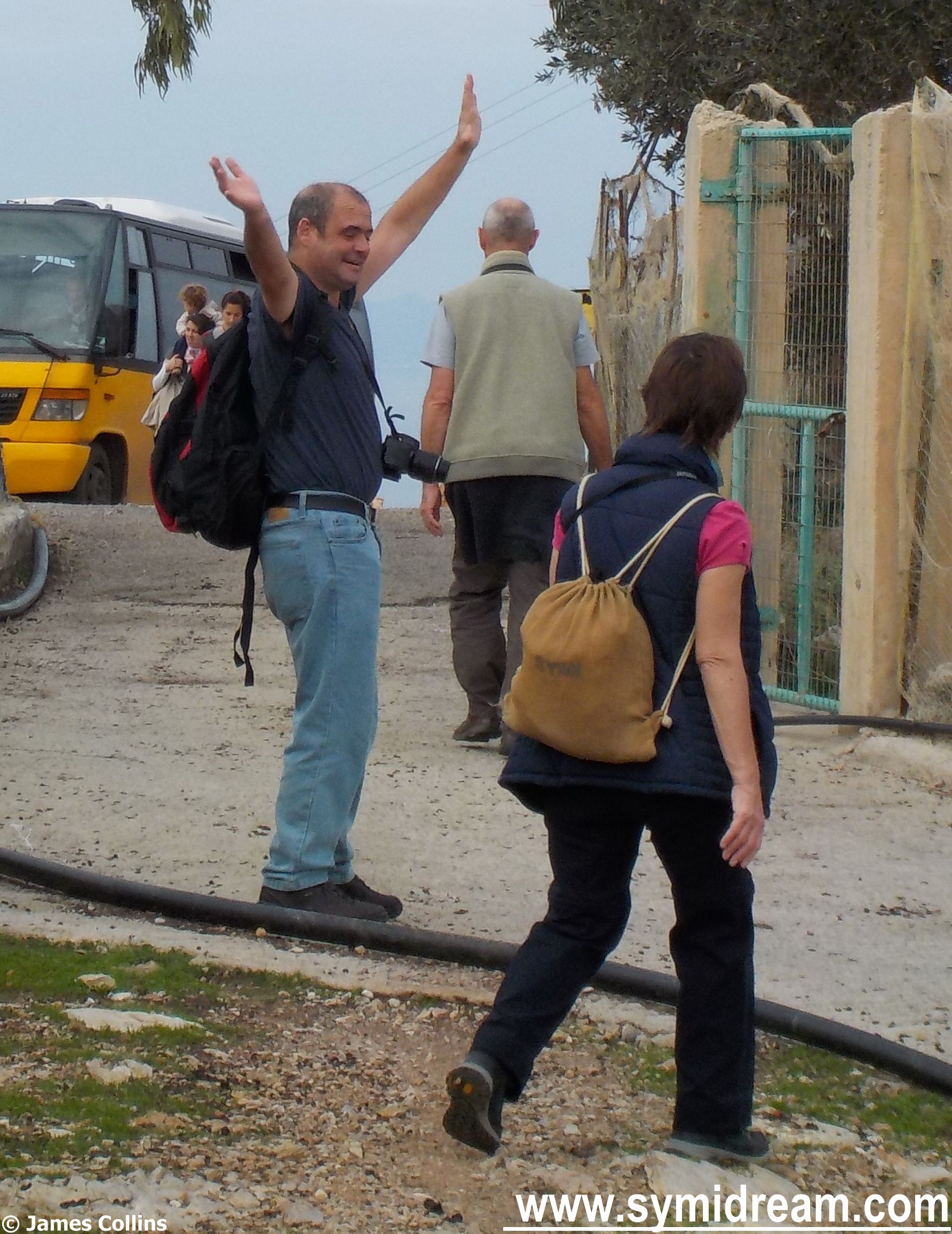
We came out in the area around Agios Fanouris where the pre-fab church lives now, and there, coming up to the main road, saw the Symi bus drive past. I’ve never seen it up there before and can only assume it was coming back from Roukouniotis or the army camp. It was St Andrew’s day on the day we were walking so perhaps there had been something going on. Anyway, Neil was happy to be on a flat surface again, as you can see, though Justine looks like she’l making a safe way around him as if to avoid.
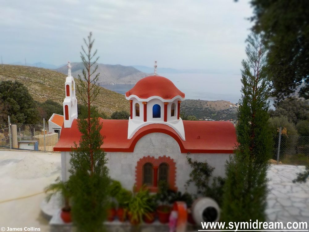
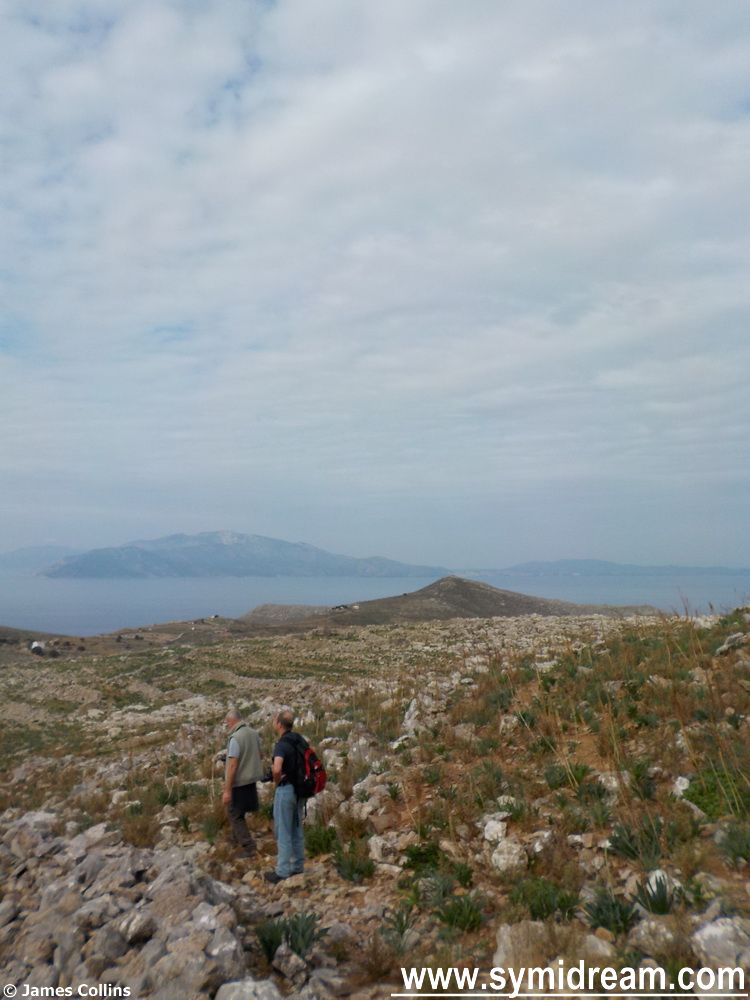
Carrying on down the main road for a while we then stopped to have our photo taken at the ‘no photos’ sign and then took a right, following the red dots towards the area marked on the map as… (takes a look), well, actually there isn’t anything marked on the map, and the red dots ran out too. To our left and down is the area known as Kato Meria (Kate O’Mara as it was called by one of our party), and the church Panagia Katholiki. Further across and up was the famous landmark of ‘Michaelis’ barbeque’ and beyond that the church of Ag. Dimitrios (one of them). Between us and all that is a huge field of boulders and rocks, wild herbs, and a dry riverbed which then leads all the way down to the back of Nimborio.
That’s for tomorrow, as is the tale of the sacrificial altar, or Aslan’s Table…